New Equity-Focused StoryMaps Now Available from VCU RISE
Resilient Virginia, in collaboration with the VCU Research Institute for Social Equity (VCU RISE), proudly presents a new suite of interactive StoryMaps developed through the Environmental Justice Data Project. Supported by the Windward Fund, this community-driven initiative equips local leaders with tools to advance climate equity.
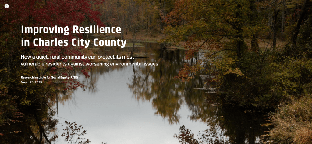
Working alongside residents and leaders in Charles City County, Emporia, and Richmond, the project identified how climate change and infrastructure disparities affect historically marginalized communities. In response, VCU RISE created a set of equity-centered digital tools that inform planning efforts, improve access to resources, and strengthen local resilience.
Built on ESRI’s StoryMaps platform, these tools combine maps, data, visuals, and personal narratives—offering both a clear view of local challenges and a practical resource for residents, planners, and policymakers.
Why These StoryMaps Matter
These StoryMaps are more than just data visualizations—they are community engagement tools built to:
Share the lived experiences and insights of local residents
Support grant applications and planning with localized, equity-informed data
Help residents understand and access emergency services and resilience resources
Each StoryMap is tailored to its respective community and serves as both a visual research narrative and a practical toolkit for navigating climate resilience challenges.
What You'll Find in the StoryMaps
Using ESRI’s StoryMaps platform, each digital resource combines maps, data, photos, and storytelling in a way that is engaging and easy to explore. Each StoryMap includes:
A brief overview of local history to ground current challenges in context
Highlights of cultural, architectural, and community assets
Demographic and climate vulnerability data, presented through an asset-based equity lens
Community perspectives gathered through interviews and focus groups
“Emergency Lifelines” – essential contacts, alert signups, and local services for residents
Designed to be both informative and user-friendly, these StoryMaps use sliding images, interactive maps, and clean layouts to make the data accessible and meaningful to a wide audience—from local policymakers and planners to educators and community members.
Building Resilience Through Shared Knowledge
At Resilient Virginia, we believe that resilient communities are informed communities. By centering equity and amplifying local voices, these StoryMaps provide a foundation for more just, effective, and sustainable local decision-making.
We invite you to explore and share these tools with your networks. Let’s work together to advance resilience and equity across Virginia.
Explore the StoryMaps
-
Richmond: View StoryMap
-
Emporia: View StoryMap
-
Charles City County: View StoryMap