National Risk Index
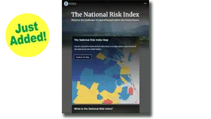
The National Risk Index is a dataset and online tool to help illustrate the United States communities most at risk for 18 natural hazards.
The National Risk Index is a dataset and online tool to help illustrate the United States communities most at risk for 18 natural hazards.
The National Centers for Environmental Information’s (NCEI) Billion-Dollar Disasters product is intended to show the impact of extreme weather and climate events on the economy in inflation-adjusted dollars.
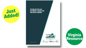
The report presents analysis of the best available existing data on coastal land elevation, sea level rise projections, vertical land motion (subsidence), and building and transportation assets.
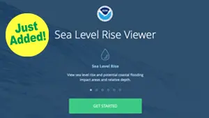
The purpose of the NOAA Sea Level Rise Viewer is to provide federal, state, and local coastal resource managers and planners with a preliminary look at sea level rise and coastal flooding impacts.
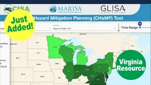
CHaMP provides users with a single point of access to county-, state- and region-specific historical climate and hazard data and projected climate information.
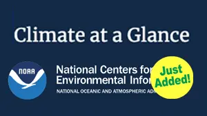
Climate at a Glance was developed at the request of NOAA Headquarters for near real-time analysis of monthly temperature and precipitation data across the contiguous U.S. and intended for the study of climate variability.
On October 29th and November 5th, Resilient Virginia is partnering with Leslie King Consulting, Launch! Consulting, and Solar Workgroup of Southwest Virginia to host additional

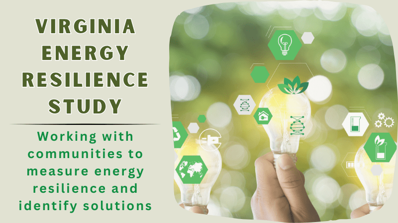
On October 22nd Resilient Virginia is partnering with Leslie King Consulting, Launch! Consulting, and Solar Workgroup of Southwest Virginia to host a Virginia Energy Resilience

ARISE-US Symposium: “The Case for Resilient Buildings” Thursday, October 10, 2024, 1:00-2:30pm ET Hosted in partnership between ARISE-US Network and Resilient Virginia A critical aspect
The National Risk Index is a dataset and online tool to help illustrate the United States communities most at risk for 18 natural hazards.
The National Centers for Environmental Information’s (NCEI) Billion-Dollar Disasters product is intended to show the impact of extreme weather and climate events on the economy in inflation-adjusted dollars.
The report presents analysis of the best available existing data on coastal land elevation, sea level rise projections, vertical land motion (subsidence), and building and transportation assets.
The purpose of the NOAA Sea Level Rise Viewer is to provide federal, state, and local coastal resource managers and planners with a preliminary look at sea level rise and coastal flooding impacts.
CHaMP provides users with a single point of access to county-, state- and region-specific historical climate and hazard data and projected climate information.
Climate at a Glance was developed at the request of NOAA Headquarters for near real-time analysis of monthly temperature and precipitation data across the contiguous U.S. and intended for the study of climate variability.
On October 29th and November 5th, Resilient Virginia is partnering with Leslie King Consulting, Launch! Consulting, and Solar Workgroup of Southwest Virginia to host additional
On October 22nd Resilient Virginia is partnering with Leslie King Consulting, Launch! Consulting, and Solar Workgroup of Southwest Virginia to host a Virginia Energy Resilience
ARISE-US Symposium: “The Case for Resilient Buildings” Thursday, October 10, 2024, 1:00-2:30pm ET Hosted in partnership between ARISE-US Network and Resilient Virginia A critical aspect