NOAA Natural Infrastructure
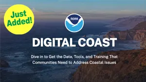
Natural infrastructure is the focus of this NOAA Office for Coastal Management Digital Coast website, where you’ll find numerous online and in-person training guides.
Natural infrastructure is the focus of this NOAA Office for Coastal Management Digital Coast website, where you’ll find numerous online and in-person training guides.
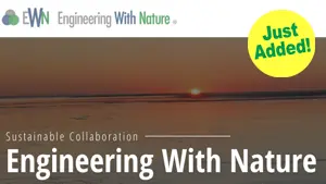
The U.S. Army Corps of Engineers (USACE) Engineering With Nature® (EWN) Initiative enables more sustainable delivery of economic, social, and environmental benefits associated with infrastructure.
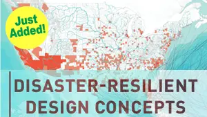
The potential for disaster increases as communities expand into hazard-prone areas and climate change alters the frequency, severity, and locations of threats. The disaster-resilient designs showcased in this document can help communities reduce the impact of disasters, recover more quickly, strengthen local economies, and create safer, more equitable places to live by reducing hazards especially for those most vulnerable.
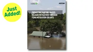
This guidance document is intended for stakeholders pursuing FEMA HMA grants for nature-based solutions to mitigate risks associated with flooding (riverine and coastal) and wildfire. Many of the HMA grant programs can fund projects that mitigate other hazards, but this document is limited in discussion to flooding and wildfire.
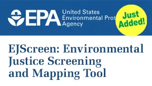
EJScreen is EPA’s environmental justice mapping and screening tool that provides EPA with a nationally consistent dataset and approach for combining environmental and socioeconomic indicators.
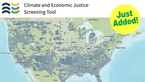
The Climate and Economic Justice Screening Tool from the Council on Environmental Quality features an interactive map and uses datasets that are indicators of burdens in eight categories: climate change, energy, health, housing, legacy pollution, transportation, water and wastewater, and workforce development.
Mitigation planning creates a pathway to reduce vulnerabilities. State, local, tribal and territorial governments engage underserved communities, populations, neighborhoods, and census tracts as mitigation plans are developed and updated. Together, stakeholders participate in mitigation planning to develop and adopt mitigation solutions.
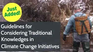
Guidelines for Considering Traditional Knowledges in Climate Change Initiatives is an informational resource for tribes, agencies, and organizations across the United States interested in understanding traditional knowledges—or TKs—in the context of climate change.
NOAA’s Digital Coast was developed to meet the unique needs of the coastal management community. The website provides not only coastal data, but also the tools, training, and information needed to make these data truly useful. Content comes from many sources, all of which are vetted by NOAA.
Natural infrastructure is the focus of this NOAA Office for Coastal Management Digital Coast website, where you’ll find numerous online and in-person training guides.
The U.S. Army Corps of Engineers (USACE) Engineering With Nature® (EWN) Initiative enables more sustainable delivery of economic, social, and environmental benefits associated with infrastructure.
The potential for disaster increases as communities expand into hazard-prone areas and climate change alters the frequency, severity, and locations of threats. The disaster-resilient designs showcased in this document can help communities reduce the impact of disasters, recover more quickly, strengthen local economies, and create safer, more equitable places to live by reducing hazards especially for those most vulnerable.
This guidance document is intended for stakeholders pursuing FEMA HMA grants for nature-based solutions to mitigate risks associated with flooding (riverine and coastal) and wildfire. Many of the HMA grant programs can fund projects that mitigate other hazards, but this document is limited in discussion to flooding and wildfire.
EJScreen is EPA’s environmental justice mapping and screening tool that provides EPA with a nationally consistent dataset and approach for combining environmental and socioeconomic indicators.
The Climate and Economic Justice Screening Tool from the Council on Environmental Quality features an interactive map and uses datasets that are indicators of burdens in eight categories: climate change, energy, health, housing, legacy pollution, transportation, water and wastewater, and workforce development.
Mitigation planning creates a pathway to reduce vulnerabilities. State, local, tribal and territorial governments engage underserved communities, populations, neighborhoods, and census tracts as mitigation plans are developed and updated. Together, stakeholders participate in mitigation planning to develop and adopt mitigation solutions.
Guidelines for Considering Traditional Knowledges in Climate Change Initiatives is an informational resource for tribes, agencies, and organizations across the United States interested in understanding traditional knowledges—or TKs—in the context of climate change.
NOAA’s Digital Coast was developed to meet the unique needs of the coastal management community. The website provides not only coastal data, but also the tools, training, and information needed to make these data truly useful. Content comes from many sources, all of which are vetted by NOAA.